Land for sale
Cautley, Sedbergh, Cumbria, LA10 5NA
Guide Price
£45,000
SOLD
UNDER OFFER

Marketed by
H&H Land & Estates, Kendal36 Finkle Street,
Kendal,
Cumbria,
LA9 4AB
- Pasture/Allotment land, extending to approximately 9.00 acres [3.64 hectares].
- To be offered in 4 lots, or such other Lots determined at the time of the sale.
- A prominent stone building with planning consent for conversion into a local occupancy dwelling, with 11.03 acres of land, and stunning views across to Cautley Spout.
- Further stone buildings with potential for development [subject to obtaining the necessary consents].
- Three distinct blocks of agricultural accommodation land with excellent quality meadow, pasture, grazing and allotment land.
- Lots 2 & 3 include areas within Sites of Special Scientific Interest.
- The land is abundant in a variety of rare species of flowers, butterflies and important habitats.
- Huge potential for natural capital investment, peatland restoration and habitat enhancement.
- Of interest to local farmers, landowners and investors.
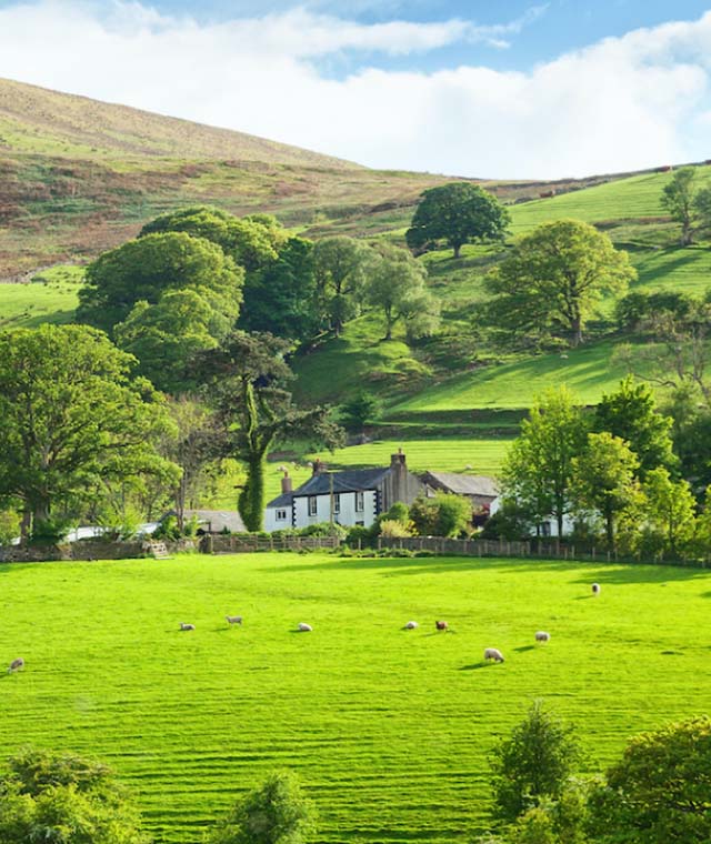
A wonderful opportunity to purchase two superb blocks of agricultural land within the Yorkshire Dales National Park, including both traditional buildings and excellent, meadow, pasture and grazing land, with registered grazing rights on Bluecaster Fell.
Extending in all to about 58.92 acres [23.84 ha]
Lot 2A - Two traditional stone Barns and land [49.92 ac]
Lot 4 - Pasture/Allotment Land [9.00 ac]
Lot 2A
Two Traditional Stone Barns, Land and fell rights
Extending to approximately 49.92 acres [20.20 hectares]
[Shaded Red on Sale Plan]
Description
Lot 2A comprises two traditional stone barns with potential for future development [subject to obtaining the necessary connects], an excellent block of agricultural land which has been well maintained and hosts an abundance of habitat, wildlife and species.
Barn 2 – Stone Barn
Traditional stone barn is situated in the centre of Lot 2A directly next to Foxhole Rigg lane. The substantial structure which presents potential for conversion [subject to the necessary consents].
Barn 3 – Stone Barn
Traditional stone barn, offering either useful storage or potential for conversion into a workshop [subject to the necessary consents].
Please note, no planning enquiries made with the local authority as to whether consent for developments could be obtained, therefore any purchaser is advised to make their own enquires.
Land Lot 2A includes four parcels of excellent quality, meadow, pasture, grazing/allotment and woodland, identified as Grade 4 ad 5 in accordance with the Provisional Agricultural Land Classification. The land has been very well managed and many of the parcel’s benefit from a natural water supply and well-maintained boundaries
Much of the land within Lot 2A is designated as a Site of Special Scientific Interest [SSSI] making it an incredibly important block of land within the landscape. It has also been identified as Shallow Peaty Soils and soils with Peaty Pockets by Natural England Peat Status Green House Gas and Carbon storage. These designations combined with the variety of species, flora and fauna could present an excellent opportunity for natural capital growth and habitat enhancement for any potential purchaser.
Lot 4
Pasture/Allotment Land
Extending to approximately 9.00 acres [3.64 hectares]
[Shaded Yellow on Sale Plan]
Comprises a ring-fenced block included three field parcels of mainly pasture and areas of woodland/scrub situated to the north of the other three lots.
Lot 4 is situated away from the main three lots and can be accessed by turning right when leaving Lots 1, 2 & 3 off Foxhole Rigg Lane. Heading north along the A683 take the next lane unnamed lane on the right. The land is situated at the top of this lane, through the wooden gate, with the field on the right. The land benefits from a right of access.
The boundaries are primarily stone walls and the land benefits from southerly aspects. The land adjacent to the river is identified as Grade 5 in accordance with the Provisional Agricultural Land Classification and the southerly aspect of the site is designated as a Site of Special Scientific Interest [SSSI].