Land for sale
Bootle Station, Millom, Cumbria, LA19 5XB
Guide Price
£215,000
SOLD
UNDER OFFER

Marketed by
H&H Land & Estates, BorderwayRosehill,
Carlisle,
Cumbria,
CA1 2RS
A closing date has been set for receipt of offers together with proof of funds no last than 12.00 noon Wednesday 13th September 2023. Three field parcels of good quality mowing/grazing land extending to 22.02 acres (8.91ha)
A closing date has been set for receipt of offers together with proof of funds no last than 12.00 noon Wednesday 13th September 2023.
Location
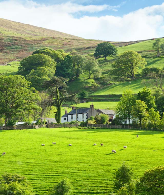
The land is located on the outskirts of the hamlet of Bootle Station within the Lake District National Park, 8.8 miles North of Millom, 13 miles West of the Broughton in Furness.
Directions
From the North take the A595, then turn right onto Swallowhurst at the crossroads (unsuitable for heavy goods vehicles sign). Continue for 1 mile and the access track (bridge over the railway line) to Lot 1 is on your left hand side. For Lots 2 and 3 continue to Swallowhurst and at the T junction turn left and continue unto Bootle Station. The access track is shown brown on the attached plan.
From the South take the A595 then turn left onto Swallowhurst at the crossroads and continue as detailed above. What3Words are given below for each Lot.
Lot 1: 27.49 acres (11.12ha)
Guide Price: £230,000
A useful block of good quality grazing/mowing land extending to 27.49 acres (11.12ha) with the benefit of mains water, shown edged red on the attached plan.
Boundaries are a mixture of hedgerows and post and wire fences. Access is gained from the public highway over a bridge crossing the railway track and on the entrance to the land is a sheep pen/race.
What3Words: spreading.violinist.yacht
Lot 2: 29.84 acres (12.08ha)
Guide Price: £280,000
Two field parcels of good quality grazing/mowing land with a small area of concrete hardstanding extending in total to 29.84 acres (12.08ha) with the benefit of mains water. The land is edged blue on the attached plan.
Access is gained via a shared hardcore track leading from the public highway as shown on the attached plan. Boundaries are hedgerows and post and fire fences. There is a shared water trough with Lot 3 which is charged on a trough rate, if the lots are bought separately this trough rate will be split 50/50.
What3Words for the entrance to the access track: bandage.frogs.defenders
Lot 3: 22.02 acres (8.91ha)
Guide Price: £215,000
Three field parcels of good quality mowing/grazing land with the benefit of roadside access then from field to field, extending to 22.02 acres (8.91ha) and shown edged green on the attached plan.
The land benefits from mains water and the boundaries are hedgerows and post and wire fences. There is a shared water trough with Lot 2 which is charged on a trough rate, if the lots are bought separately this trough rate will be split 50/50.
What3Words: germinate.firepower.meanings
Nitrate Vulnerable Zone
The land parcels are not located in a Nitrate Vulnerable Zone.
Environmental Schemes
The land is subject to an HLS agreement that expires in 2028. Buyers will be required to indemnify the Seller of all losses if the existing agri-environmental agreement is not continued in the correct format. Potential buyers are advised to obtain their own advice. Options maps are available and A13 – permanent grassland also applies.